01 / RESIDENTS
Know your surroundings
Explore familiar places and discover the waterways, communities and infrastructure around them.
 MichiganRealty.orgINTRODUCING MITTENSCOPE
OUR MISSION
Seeing Michigan Through Data. A MichiganRealty.org project bringing geographic information into one approachable experience.
Every community is part of a bigger picture: its county, its waterways, the infrastructure that supports it and the movement passing through it. MittenScope is being built to make those relationships easier to explore.
Useful public information can be difficult to find when it is spread across separate maps, agency websites and databases. Our mission is to help people see that information in context, with its sources in view.
We believe information about the places we share should be more accessible to the people who live there. Data partnerships will help us understand what can be shared, how to keep it current and where coverage still needs work.
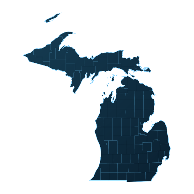
01 / RESIDENTS
Explore familiar places and discover the waterways, communities and infrastructure around them.
02 / COMMUNITY ORGANIZATIONS
Use geographic context to introduce a place, explain a local issue or connect people with public information.
03 / DATA STEWARDS
Give maintained datasets another way to be discovered, with clear attribution and honest coverage information.
Our goal is to keep 99% of MittenScope freely accessible—helping people make better-informed decisions and supporting Michigan’s growth. Paid access will be limited to optional AI features, which will also unlock the Google-powered photorealistic 3D experience.
MittenScope currently runs in a local development environment. This website introduces the work; it is not the full application. Parcel access and future property-data capabilities are still being explored.
We are building the foundations first. See what is working or learn how to participate.
LET'S CONNECT