WORKING / LOCATION
Find a place
Address-aware search accepts informal Michigan addresses and offers choices when matches are ambiguous. Partial locations may resolve to a street or area.
 MichiganRealty.orgINTRODUCING MITTENSCOPE
THE PLATFORM
Real geography, useful information and a Michigan focus. The examples below come from the development application; the screenshots are not live feeds.
01 / COMMUNITIES
Explore UP and LP land outlines, all 83 county boundaries, and 1,985 municipal and Census areas. Independently switch cities, villages, townships and mapped unincorporated Census areas.
Select a boundary to open an information panel with its shape and available context. Municipal panels can link to county details. Available news varies by place and source.
Understand the coverage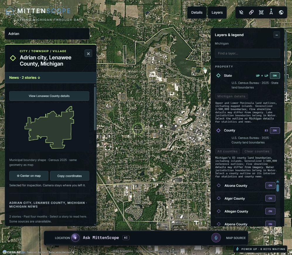
02 / WATER & PLACE
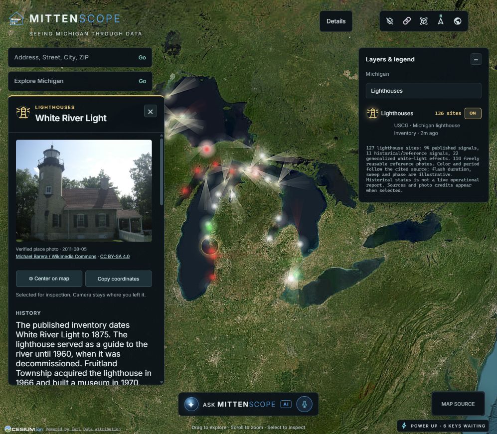
Individual layers for Superior, Michigan, Huron, St. Clair and Erie outline the lakes while excluding islands from the water area. Lake panels bring together available metrics and lake-related news.
Selected infrastructure layers add context, including lighthouses, dams and bridges. Their information panels show available imagery and source information.
03 / MOVEMENT
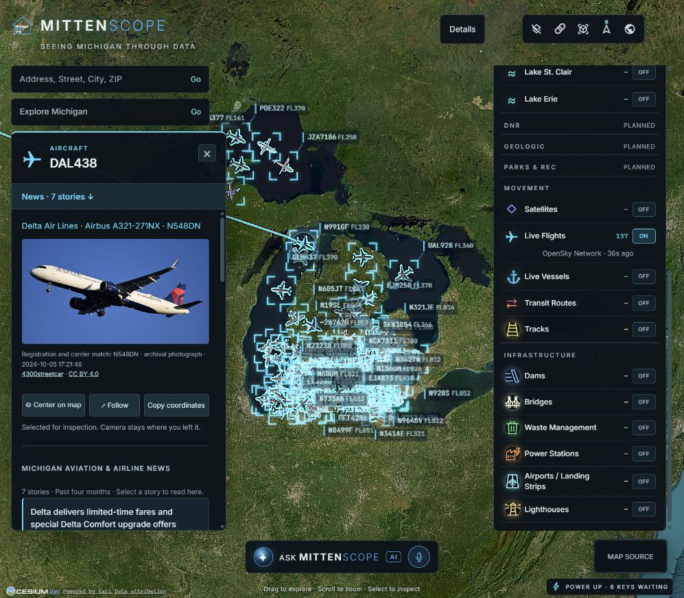
Aircraft and vessel reports appear alongside selected transit and rail information. Models and map markers make different types of movement easier to identify.
Animation smooths the display between received reports. It does not turn delayed reports into continuous GPS. Feed availability and freshness vary; the website is showing captured activity.
WORKING / LOCATION
Address-aware search accepts informal Michigan addresses and offers choices when matches are ambiguous. Partial locations may resolve to a street or area.
PLANNED / PROPERTY
County parcel polygons, reliable identifiers and update access are the next major data need. Listings and sold information are future capabilities.
DEFERRED / EXPLORATION
A hands-on public preview, advanced conversational map AI and guided animations remain deferred while the basics are completed.
LET'S CONNECT